


How Google Street View Can Help You Assess Property Value And Development Potential

In the ever-evolving world of real estate, the ability to accurately assess property value and recognize development potential is crucial for making informed decisions. Whether you’re a prospective buyer, investor, or real estate professional, having access to the right tools can significantly impact your success in the market. One such tool that has gained immense popularity for its utility in property assessment is Google Street View. In this article, we will explore how Google Street View can help you evaluate property value and development potential in a Maximize Property Value: Google Street View Analysis
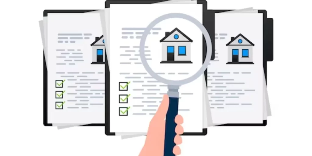
Understanding Property Value

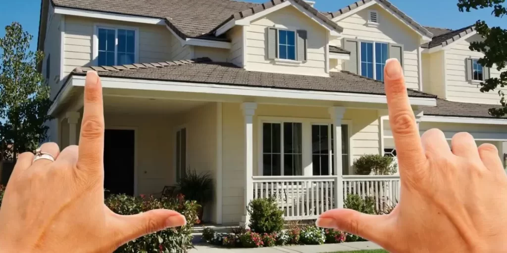
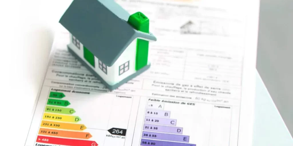
Before delving into the role of Google Street View, it’s essential to grasp the concept of property value. Property value is influenced by a myriad of factors, including location, condition, and the potential for development. In this article, we’ll focus on how Google Street View can assist in assessing these factors.
The Role of Google Street View

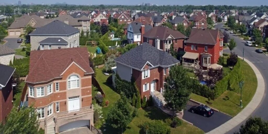
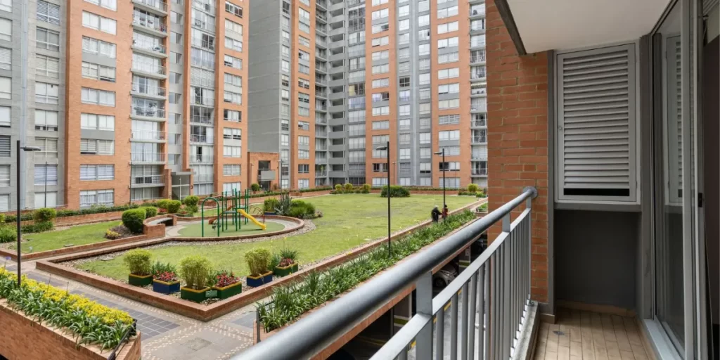
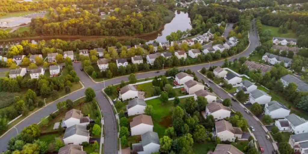
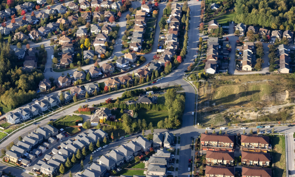
Google Street View plays a pivotal role in property assessment by offering an immersive, street-level view of properties and neighborhoods. It allows users to explore the surroundings, view properties, and identify valuable information without leaving the comfort of their homes.
What Is Google Street View?
Google Street View is a feature of Google Maps that provides panoramic, 360-degree images of streets and locations captured by Google’s fleet of camera-equipped vehicles. These images are stitched together to create a seamless virtual tour of the area, offering users a close-up view of properties and neighborhoods.
Accessing Google Street View
Accessing Google Street View is simple and user-friendly. To get started, open Google Maps on your computer or mobile device and search for the location you’re interested in. You can access Street View by clicking and dragging the small yellow person icon onto the map, placing it on a street or area marked in blue.
Navigating Google Street View

Once you’re in Street View mode, you can easily navigate through the streets and neighborhoods by clicking and dragging your mouse or swiping on your touchscreen device. Zoom in and out to explore properties in detail and get a feel for the area.
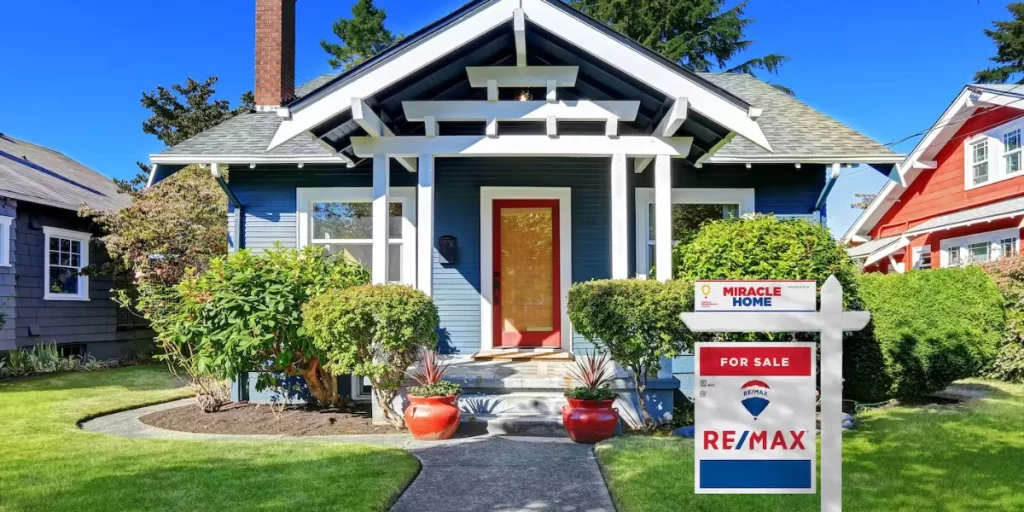
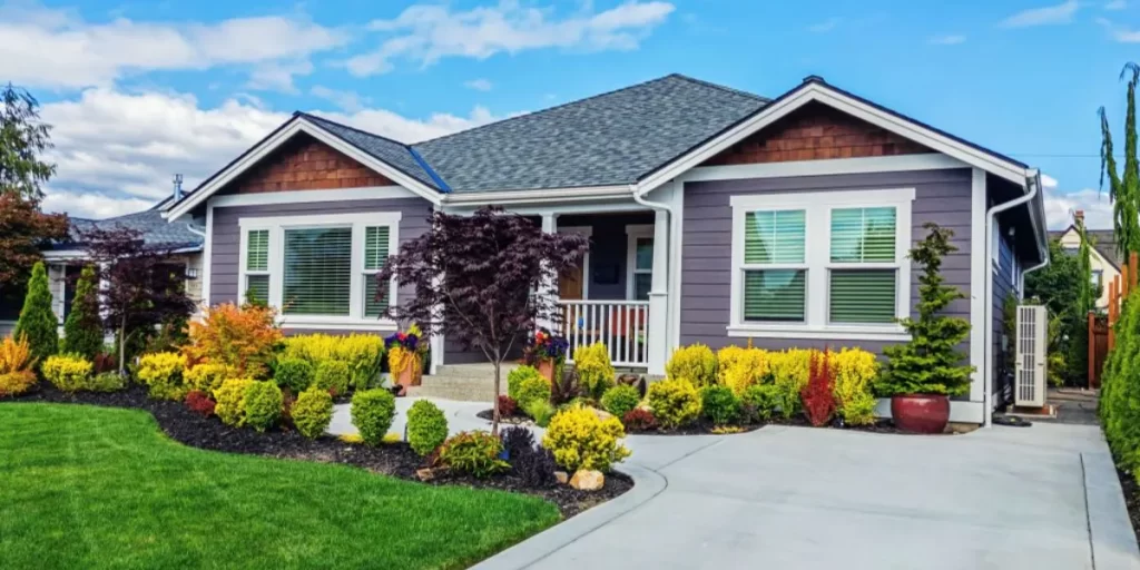
Assessing Property Value
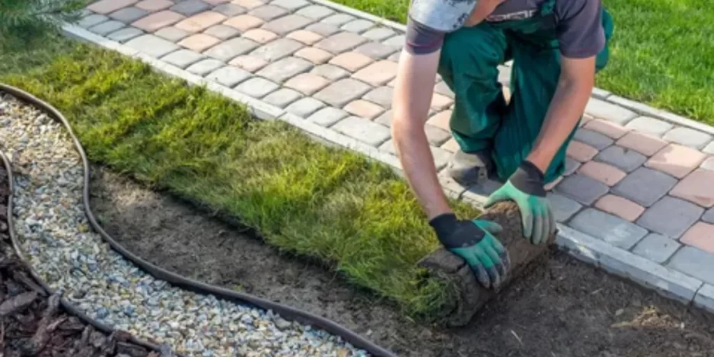
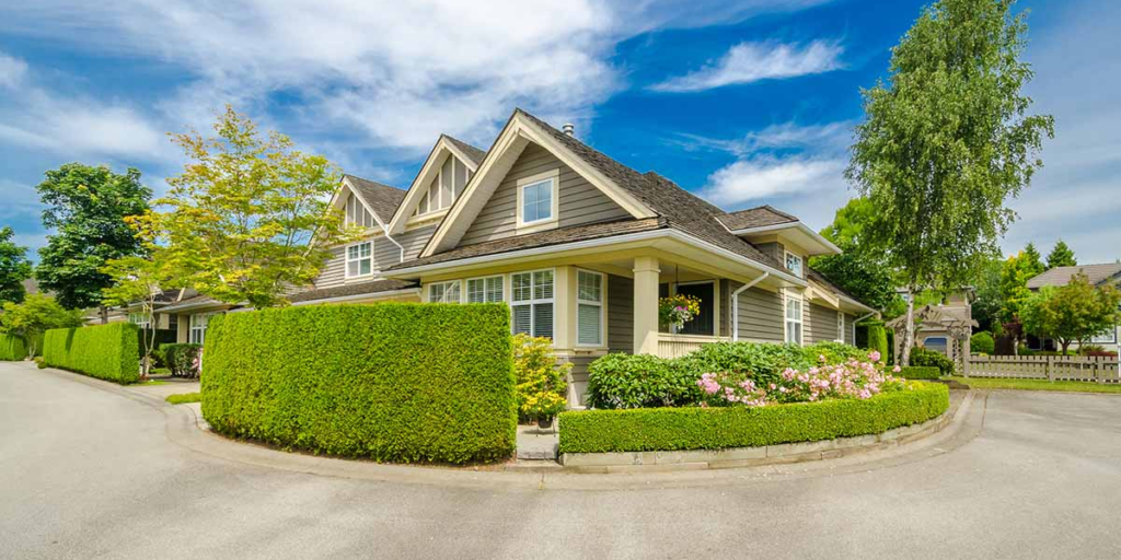
Google Street View allows you to assess property value by evaluating key factors. You can observe neighborhood quality, proximity to amenities, and the overall condition of properties to determine their impact on value.
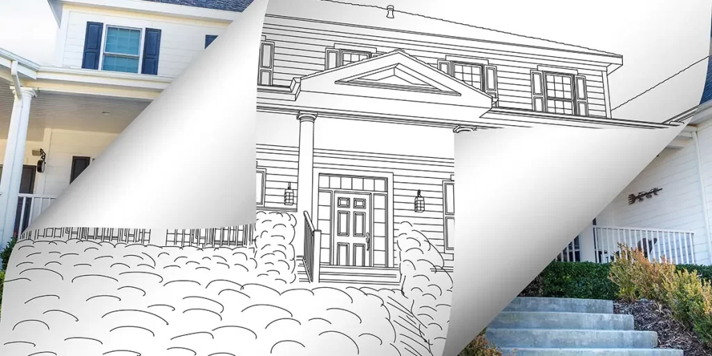
Identifying Development Potential

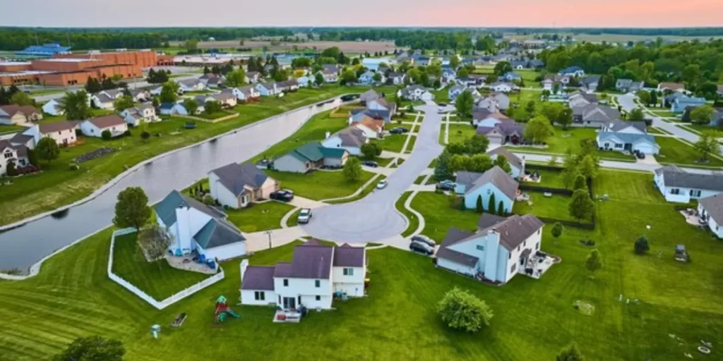
In addition to assessing property value, Google Street View can help you spot opportunities for development. Look for vacant lots, underutilized spaces, or signs of redevelopment in the area, which may indicate growth potential.
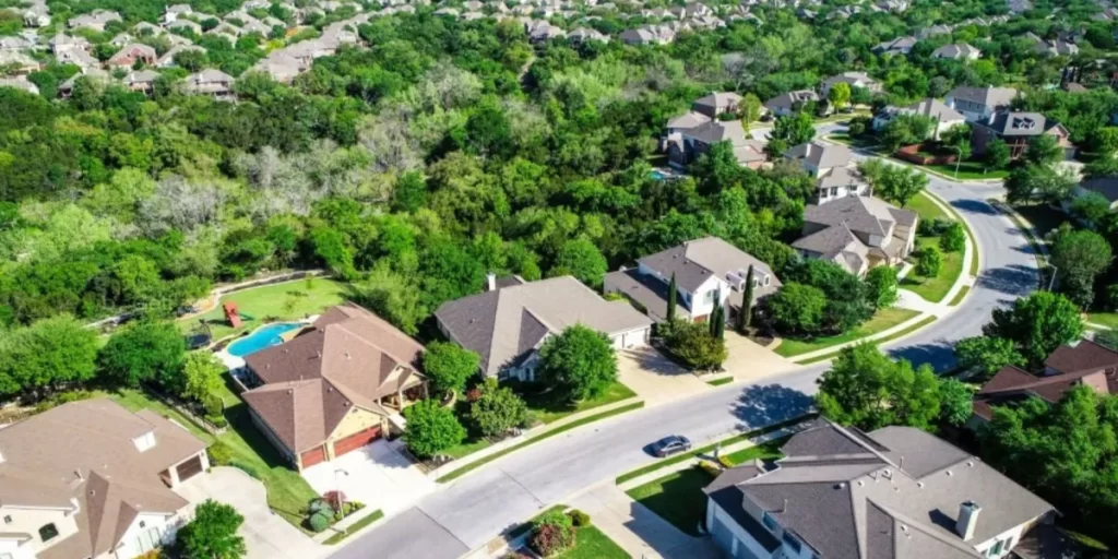
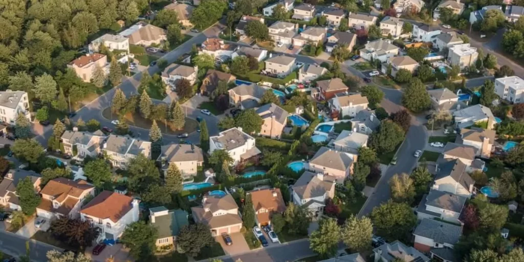
Analyzing Neighborhood Trends
Using Google Street View, you can also research neighborhood trends. Look for signs of revitalization, such as new businesses, improved infrastructure, or community events, as these can positively influence property values and development potential.
Real-Life Examples

Real-life examples demonstrate the practical application of Google Street View in real estate. This section will showcase instances where individuals and professionals have successfully used Street View to assess property value and recognize development opportunities.
Combining Data Sources

While Google Street View is a valuable tool, it’s essential to complement it with other data sources. This section will discuss how you can combine Street View with local real estate data, market analysis, and expert opinions for a comprehensive property assessment.
Challenges and Limitations

No tool is without its limitations. In this section, we will address the potential drawbacks of relying solely on Google Street View for property assessment and development planning. Understanding these limitations is crucial for making well-informed decisions.
Recommendations
In, Google Street View is a powerful tool for assessing property value and development potential. By leveraging this tool effectively and understanding its limitations, you can gain a competitive edge in the real estate market. Remember to use Street View as one part of your property assessment toolkit, combining it with other valuable sources for a comprehensive analysis.
In a world where information is key, Google Street View opens up new possibilities for assessing property value and identifying development potential. With this tool at your disposal, you can make more informed decisions in the competitive real estate market, increasing your chances of success. So, start exploring today and unlock the potential of Google Street View in your property assessment journey.
Click here for more visited Posts!